
The results of the scientific-practical project on soil maps were handed over to the "New Uzbekistan" library
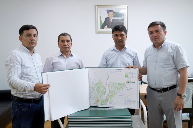
The results of the scientific and practical project on the digital mapping of the soil condition of 3.7 million hectares of irrigated land in our republic were systematized and published in the form of separate scientific publications.
Within the framework of the project, 162 agricultural districts were covered, electronic digital maps of soil quality and salinity on a scale of 1:25,000, and agrochemical cartograms were created.
The integration of the generated data into the open portal "Land Information System" expands the possibilities of assessing the condition of the land, planning agrotechnical activities on a scientific basis, and effectively using land resources.
Today, the scientific and cartographic materials prepared within the framework of the project were handed over to the "New Uzbekistan" library fund.
Importantly, publications were presented in print and electronic form. This creates a wide opportunity for scientists, researchers, teachers and students to use this scientific and practical information.
In this way, important scientific and cartographic information about irrigated agricultural land is preserved and turned into a reliable source for future research.
Website Telegram Facebook YouTube Instagram